Summary
The Bacher Lay is a 44.7-hectare nature reserve in the Westerwald district in Rhineland-Palatinate and a geotope of the Westerwald-Lahn-Taunus Geopark.
Description
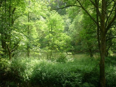
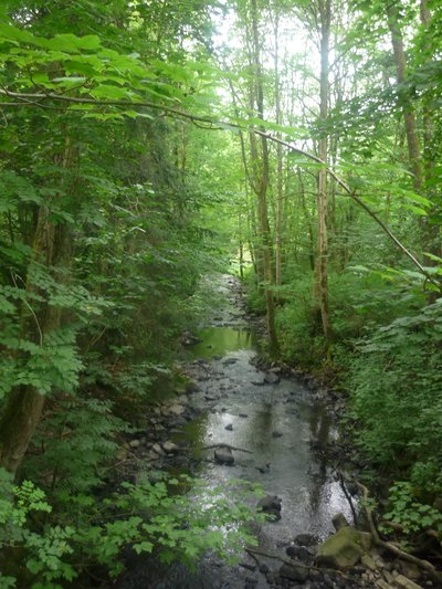
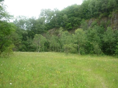
The Bacher Lay is a disused basalt quarry located between Bad Marienberg and Nisterau directly on the Schwarze Nister, a tributary of the large Nister. The name is derived from the formerly independent village of Bach, which is now part of the municipality of Nisterau; ‘Lay’ in this context means quarry. The area extends partly over the districts of Bad Marienberg, Bach, Eichenstruth and Stockhausen-Illfurth. The Bacher Lay is characterised by a mighty, almost vertical basalt rock face, which was created by the former basalt quarrying. The ‘Pfaffenmal’, an 18 metre high columnar basalt cone in a milestone position, is also located nearby and is well worth seeing.