Designated paths/places
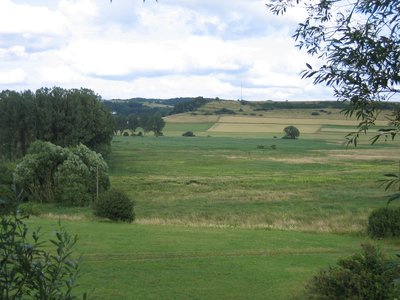
The area of around 230 hectares includes the Dreiser Weiher, a maar up to 1,360 metres long and 1,160 metres wide in the Eifel (the second largest maar in the Eifel) with four eruption sites and a wetland biotope in the bottom of the maar, the Döhmberg with basaltic tuff and cinder cone as well as flower-rich rough pastures in the ‘Börchen’ area.
| Location | Germany - Rheinland-Pfalz - Vulkaneifel |
| Area | 2.32km² |
| Year of foundation | 1986 |
| IUCN Category | IV |
| DtP ID | 17010e8c-715b-4098-afc4-b223691e8c54 |
| Name and division |
Rheinland-Pfalz
|
| Website | https://naturschutz.rlp.de/ |

Designated paths/places
Designated paths/places
It is prohibited to visit, photograph, or film animals at their nesting, breeding, living, or refuge sites.