![]()
Entering off the beaten path
is
forbidden
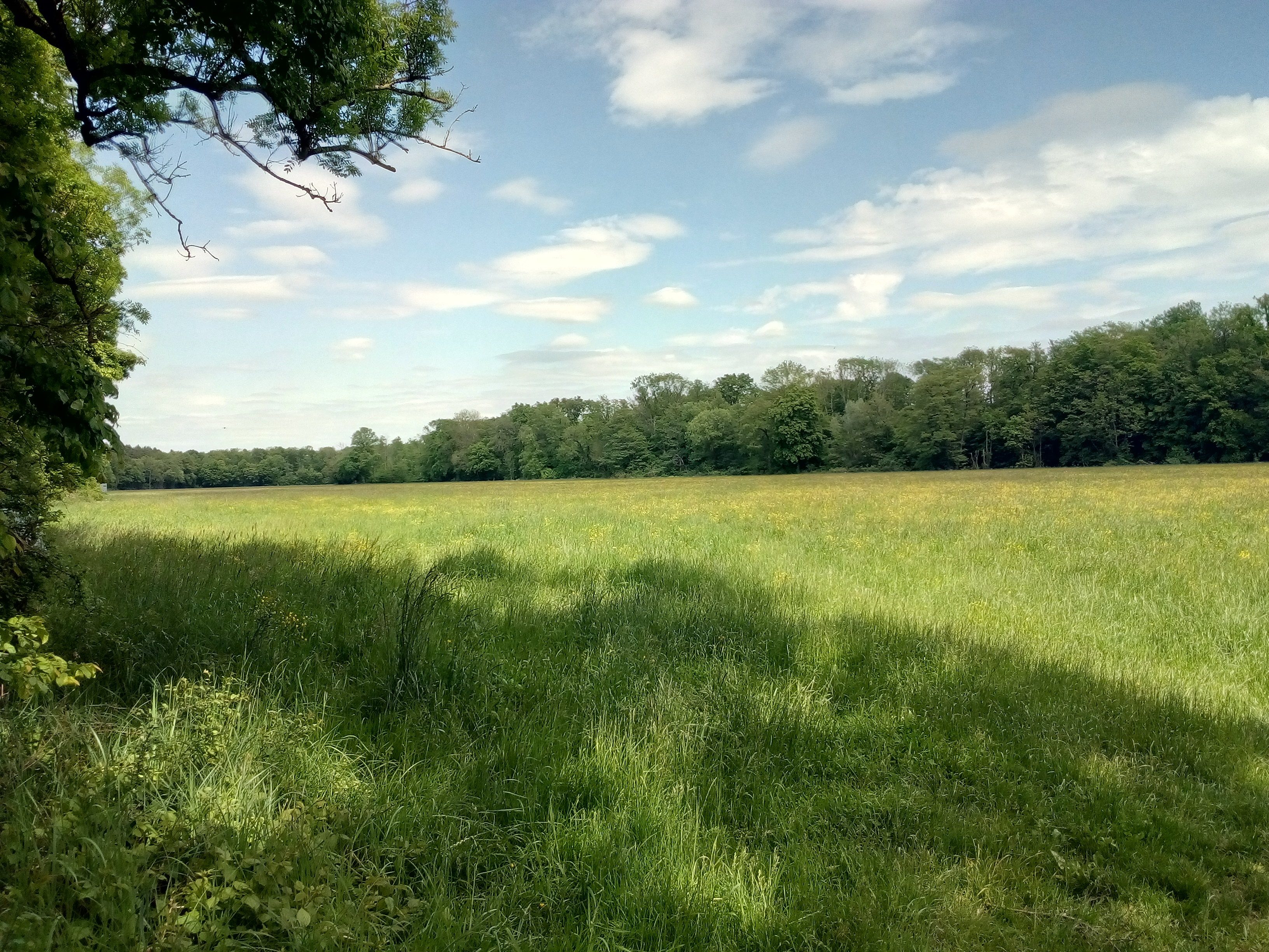
The nature reserve at Bruchbach and Otterbach stretches along the valley areas of these streams and encompasses a highly branched water system with straightened streams, ditches, and standing water. It is home to a variety of habitats, including reeds, wet and marshy meadows, tall forb communities, large sedge marshes, and near-natural forest areas. Particularly noteworthy is the unspoiled landscape on the edge of the Bienwald forest, with the Otterbach stream between Jockgrim and Kandel being a near-natural watercourse of supraregional importance.
| Location | Germany - Rheinland-Pfalz - Germersheim, Südliche Weinstraße |
| Area | 15.61km² |
| Year of foundation | 1988 |
| IUCN Category | IV |
| DtP ID | 2f3b9cbe-20cd-495f-8db2-967397815407 |
| Name and division |
Rheinland-Pfalz
|
| Website | https://naturschutz.rlp.de/ |
![]()
![]()
Designated paths/places
![]()
Designated paths/places
![]()
Designated paths/places
![]()
Designated paths/places
![]()
![]()
![]()
![]()